
Take a moment to think about the natural enviroment of Canada. What images come to your mind? Scroll through the carousel of images capturing Canada's physical landscape.

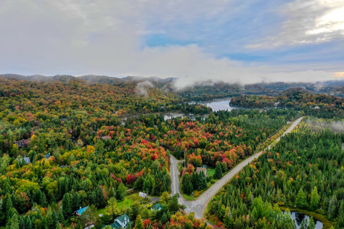
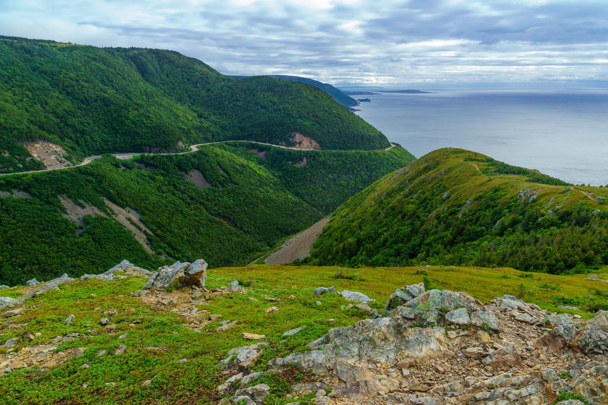
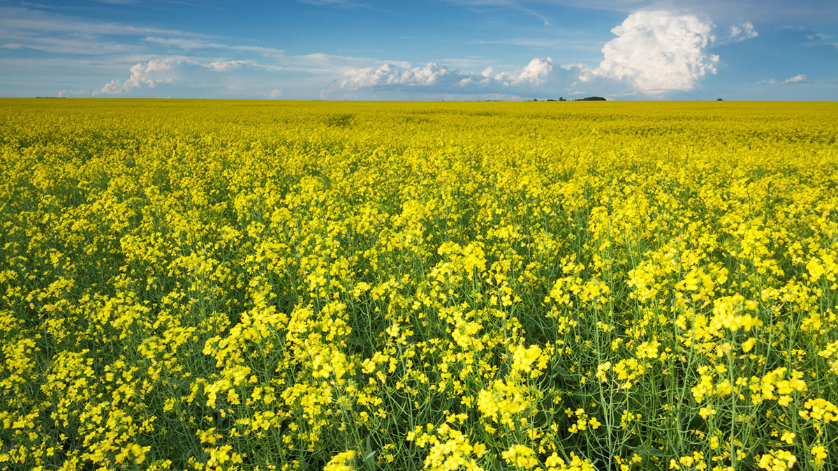

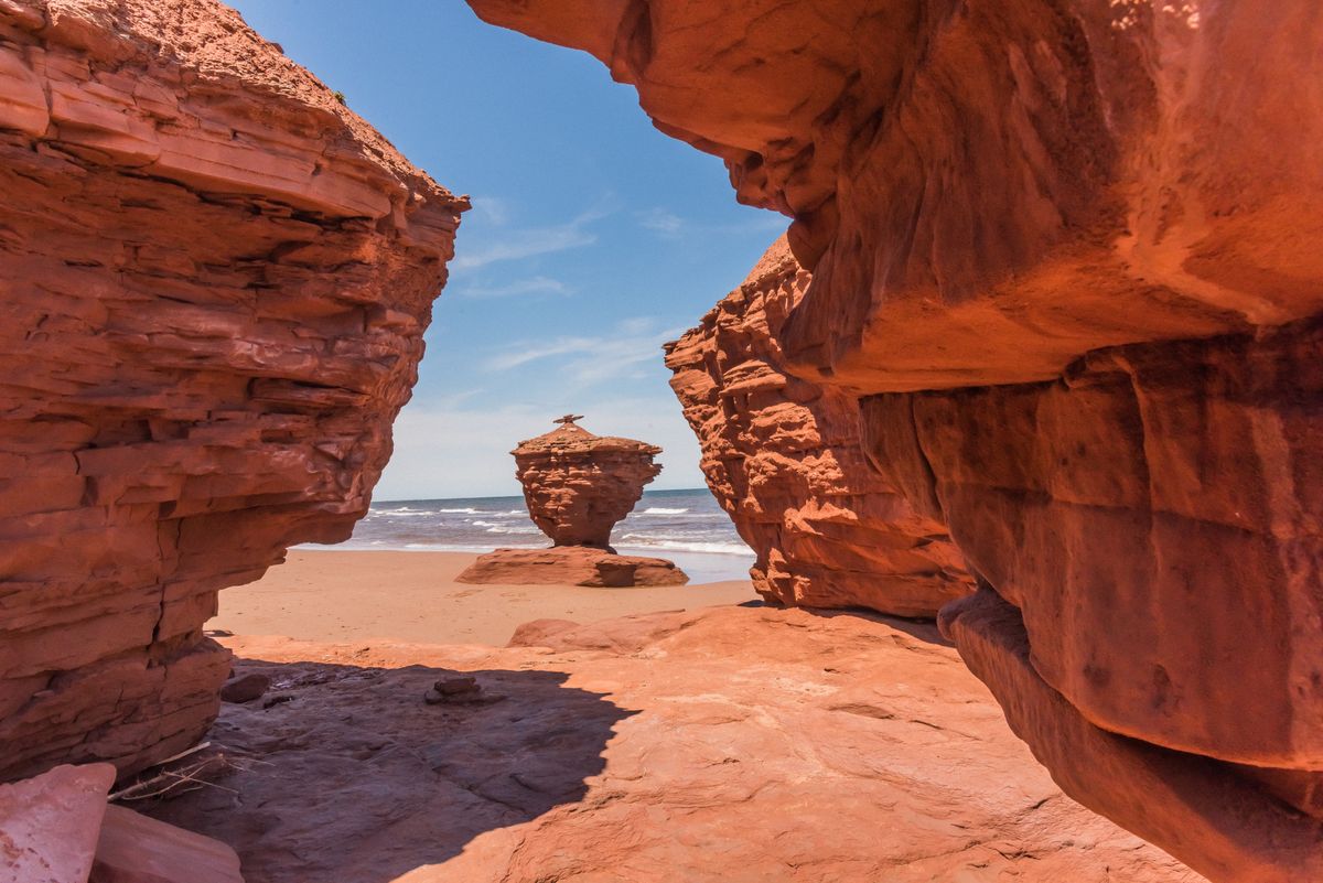
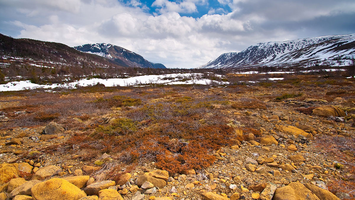
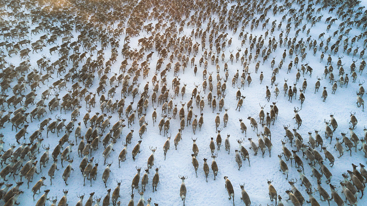
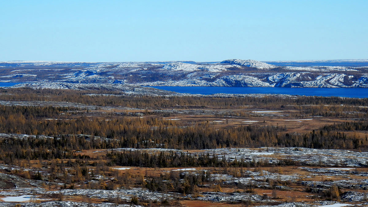

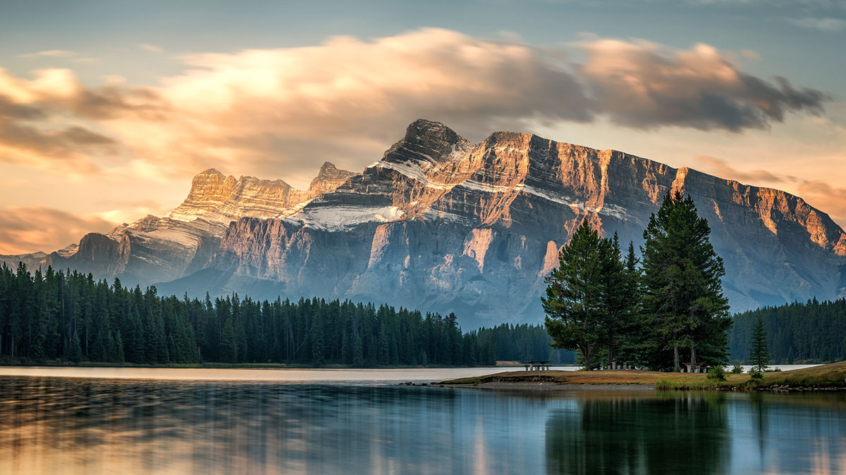
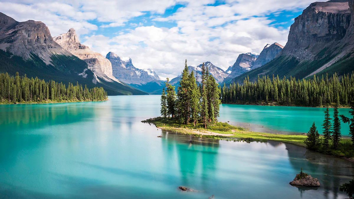
Imagining Canada
With a land area close to 10 million square kilometres, Canada’s vast landforms have experienced much change through time.
You have just seen some images representing Canada. Whether you live in Canada or not, you likely have many of your own mental images based on your own experiences. Let’s explore a bit by sketching out a map of Canada.
Try it!

Start with a blank piece of paper, and sketch out an outline of Canada. Challenge yourself to rely on what you already know for your sketch, so don’t go to the Internet or other sources. This is important because it will give you a frame of reference for where you are starting your learning.
Now, using colour, symbols, or shading to help organize your sketch, add the following:
- natural features such as mountains, prairies, water bodies, and landforms
- add details about where people live and what industries are present

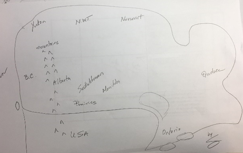
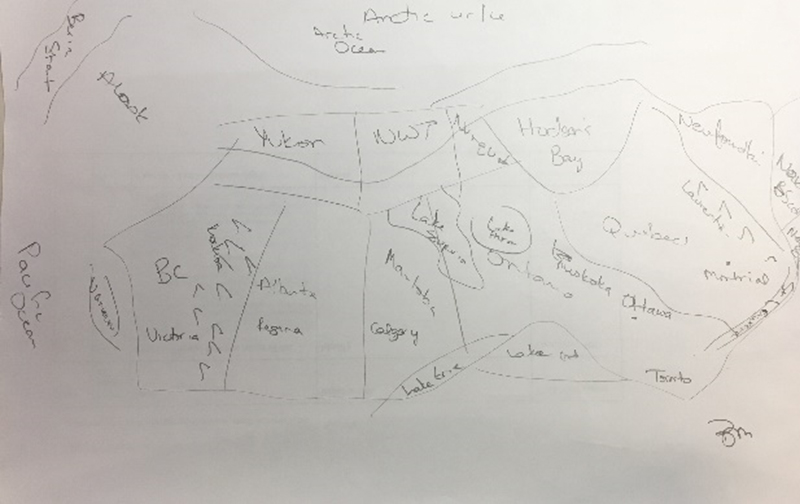
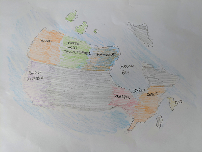
Invite a friend or family member to do this same task and compare. Keep your sketch, date it or take a photo for safe keeping. You will be asked to complete the same task when you finish the course to compare. This does not count for marks but it should certainly be an interesting comparison.
Reflection

In your notebook, write a brief reflection (2-3 sentences) on how this sketching activity made you feel. You can use one (or more) of the following prompts to structure your reflection:
- What was the hardest part of this activity?
- What was the easiest part of this activity?
- Were there parts of Canada you knew more or less about?
- How are maps and images powerful tools to share information? How are they limited?
- How did your map compare to other student samples or your friends / family?
In this learning activity, you will explore the physical and geologic properties of landforms in Canada.

Landforms
Landforms describe the natural features of the earth’s surface. Broadly speaking, Canada has three types of landform regions: Lowlands, Highlands and the Canadian Shield. Select the tabs to learn more.
Lowlands
Lowlands are low-lying regions such as the Great Lakes-St. Lawrence, Hudson Bay-Arctic and the Interior Plains.
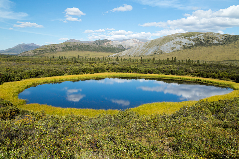
Yukon Lowlands.
- The Great Lakes–St. Lawrence Lowlands include Ontario and Quebec. The smallest of the landform regions, it’s also the most heavily populated. Home to nearly one-third of Canadians, it includes the cities of Toronto and Montreal.
- Hudson Bay–Arctic Lowlands include: Northwest Territories, Nunavut, Manitoba, Ontario, and Quebec. This area is found in the High Arctic and along the southern shores of Hudson Bay and James Bay. The northern part of this region is made up of many islands. The ground is frozen most of the year and called “tundra.”
- The Interior Plains include: Yukon, Northwest Territories, Nunavut, Alberta, Saskatchewan, and Manitoba.
Highlands
Highlands are mountainous regions such as the Appalachians, Innuitians and the Western Cordillera.

Monteregie landscape near Sutton, Quebec.
- The Appalachian Mountains are the oldest highland region in Canada. This mountain range extends all the way through Southern Quebec, the Maritimes, and out into the Atlantic Ocean. The mountains were formed by volcanoes and earthquakes millions of years ago.
- The Innuitian Mountains include Nunavut. Western Cordillera includes B.C. and Yukon.
- On the West Coast of Canada, the Western Cordillera region has many different physical characteristics. Running north-south, it is made up of several mountain ranges. It stretches from the Pacific Coast inland to Alberta.
Canadian Shield
Canadian Shield is rocky, forested terrain covering up to 48% of Canada’s land mass. While the Shield was originally a mountain range, it has been worn down over millions of years, mostly by glaciation and erosion. The Canadian Shield comprises: Northwest Territories, Nunavut, Alberta, Saskatchewan, Manitoba, Ontario, Quebec, and Newfoundland/Labrador.

View to Sambaa Deh Falls on Trout River, Northwest Territories.
Canada’s landform regions
Within these broad categories, Canada’s three main landform regions can be further subdivided into seven physiographic regions.
Physiographic’ is a term that is used to describe the processes that have shaped lands through time. The terms physiographic and landform are now used interchangeably. Geologists, geographers and scientists categorize regions that have homogeneous characteristics (like distribution of permafrost, treeline location, shape of land etc.) into physiographic regions.
For each of the 7 physiographic regions, review their physical geography and the types of landforms they each have.
Download this Canada’s Landform Regions table (Opens in new window) to record what you have learned. It is important that you create thorough notes as they will help you in your first assignment.
Physiographic regions of Canada
Canada may be divided into seven physiographic regions: Arctic Lands, Cordillera, Interior Plains, Hudson Bay Lowland, Canadian Shield Forest Lands, St Lawrence Lowlands and Appalachia.

Physiographic regions are defined by their similar, or homogeneous, physical geographic structures and components. Physiographic regions are dramatically different than each other, so different in fact that their unique characteristics are even visible from satellite images. Basically, three criteria are used to help define and differentiate the regions. These include geologic structures, how the permafrost is distributed, and the position of the treeline. It is the combination of these criteria that help define the seven major physiographic regions of Canada which we will look at in further detail below:
Arctic and Subarctic Lands

Canada's Arctic Lands are found above the treeline and cover 2.6 million km2, or 26 per cent of the country. Included in the Arctic Lands are the Arctic Coastal Plains and Arctic Lowlands, the Innuitian Region of the High Arctic, and parts of the Canadian Shield in Nunavut, northern Québec and Labrador.
It is largely a rocky landscape, made up of igneous, metamorphic and sedimentary rock. Igneous rock is formed from magma, or lava, that has been cooled and become solid. Metamorphic rock is rock that has been changed by extreme heat and pressure. Sedimentary rock has been formed by multiple deposits of small particles, usually via a source of water. Bedrock is made up of all three types of rock. It is bedrock that can be seen in the higher elevations in the Arctic Lands, as rubble that covers the slopes of these elevations. Glaciers cover approximately five percent of the Arctic land surface.
Arctic Lands are distinct in having a zone of continuous permafrost, which makes it impossible for trees to survive. This is known as tundra. At high latitude, it can be considered a polar desert, as the climate becomes increasingly colder and drier. The surface of the land thaws for a period of two to three months each year. Lakes and rivers are typically ice free only in summer months.
Cordillera

The Cordillera region is the mountainous region in the west that extends from Canada, into the United States, and into South America. In Canada, we know these mountains as the Coast and the Rocky Mountains. Most of the Canadian part is in British Columbia and the Yukon territory, extending all the way to the Beaufort Sea. It also extends into Alberta to the south, and into the Northwest Territories, covering a total of 1.6 million km2, or 16 per cent of Canada.
The mountains in the Cordillera are made of a combination of igneous and metamorphic rocks in the west, by layers of sedimentary and volcanic rock in the interior, and sedimentary rocks that have been tilted, faulted and folded on the eastern side. Within the mountains are interior plateaus, which were originally created by erosion millions of years ago, and then modified by glaciers. Valleys have been sculpted by falling rock, landslides, and avalanches, and contain thick silt and clay deposits, as well as sand and gravel from meltwater streams. Its great variety of natural hazards, climates, and soils make it restrictive for humans in some areas, but rich in natural resources.
Interior Plains

The Interior Plains span parts of the Northwest Territories, the northeastern tip of British Columbia, most of Alberta, and sweeps through Saskatchewan and into Manitoba, comprising 1.8 km2 or 18 per cent of Canada’s land surface.
The Interior Plains have a sedimentary bedrock foundation, made up from deposits of sandstone, limestone, shale and silt from the mountains to the west. As such, they are different from the Cordillera region in that they form flat-lying and fairly uniform landscapes, especially in the Manitoba and Saskatchewan plains. From north to south, they include areas of tundra, mixed wood forests in the northwest, to grassland prairies which are formed in a series of steps called the Manitoba plain (the lowest and flattest of the three steps), the Saskatchewan plain (low and smooth), and the Missouri Couteau (which slopes gradually towards the Rocky Mountains). For the most part, the Interior Plains are made up of grasslands, which thrive in the semi-arid climate.
Hudson Bay Lowland

The Hudson Bay Lowland is again unique from the other regions surrounding it. It circles most of Hudsons Bay, bridging Nunavut, Manitoba, and Ontario. The land area spans 320,000 km2 or 3.2 per cent of Canada’s land surface, made up of sedimentary rock. It was formed by glacier ice, the movement of which deposited clay, sand and other sediments.
The landscape, going from the coastline outwards, includes vast level plains of muskeg made up of thick peat and many ponds. This bridges into gravel beaches formed when storm waves crashed onto shore, before the sea level fell. There are dry, sparsely forested ridges around the rocky beaches. The movement of the glaciers and the flooding and retreating of marine waters created prominent streamlined hills.
Canadian Shield Forest Lands

As the largest physiographic region, the Canadian Shield Forest Lands covers approximately 5 million km2, or roughly 48 per cent of Canada’s land surface. Its vast expanse incorporates Northwest Territories, Nunavut, northern Saskatchewan, most of Manitoba and Ontario, all of Quebec, and most of Newfoundland and Labrador.
The Canadian Shield Forest Lands are founded on igneous Precambrian rock. Precambrian refers to a time period in the earth’s history, about 4.6 billion years ago. Mountains were being formed between four and one billion years ago. Since then, the land has been fairly stable. Even glacial erosion and movement had little effect on sculpting the Precambrian rock. They did, however, deposit sediments that helped create the relatively thin layer of soil on the Shield. Where glacial movement did have an impact on the terrain was closest to the edges, around the Hudson Bay Lowlands and in northern Labrador.
The Canadian Shield Forest Lands contain vast forested regions, some on relatively flat land, some on hilly regions.
St Lawrence Lowlands

The St. Lawrence Lowlands hug the lower Great Lakes and the St. Lawrence river, in the provinces of Ontario and Quebec. It covers 180,000 km2, or 1.8 per cent of Canada’s land surface and is densely populated.
The West St. Lawrence Lowland is sedimentary, composed mostly of limestone, shale and dolomite. From the height of the Niagara escarpment, the lands slope gently outward towards the Great Lakes. Soil composition includes clay and sand, resulting from glaciation.
The Central St. Lawrence Lowland is a hilly region, formed when the Atlantic Ocean was forming about 120 million years ago. Along its borders lie more sandy terraces.
As the St. Lawrence river gets closer to the Atlantic Ocean, there are small isolated low plateaus and areas of plains, marking the East St. Lawrence Lowland.
Appalachian Region

The Appalachian Region encompasses much of the maritime east of Canada, including Newfoundland, New Brunswick, Nova Scotia, Prince Edward Island, and southeastern parts of Quebec. It covers 360,000 km2. or 3.6 per cent of Canada’s land surface. Its mountains and terrains were created from tectonic movements, or the movement of the earth’s crust between approximately 480 and 280 million years ago. Primarily metamorphic and igneous, the rock structures have been both exposed in some places, creating rugged mountains and shorelines, while fashioned into valleys, lowlands and plains in others.
Glacial deposits have created mostly sandy soil, so thick in some areas that the soil is dry and infertile; whereas in other areas, the sandy soil is arable and good for agriculture.
Discover More

There is so much more you can discover about the physiographic regions of Canada. If you’d like, you can access the Canadian Encyclopedia online, or consult additional sources as needed to help you complete your chart.
Check your understanding
Check your understanding by answering the following multiple-choice questions. Add any new learning to your notes.
How did you do on the quiz? There is a lot of information in this first learning activity and it can be overwhelming. Try watching "Canada: Landform Regions", a National Film Board documentary about Canada’s regional diversity. Yes, it’s very old, but it has a lot of good visuals and descriptions of Canada’s physical diversity.
Keep your Canada's Landform Regions table open as you watch the video. After you have watched the documentary, go back and do the quiz. This may help improve your results.

Assessment for Feedback: Assessing Canadian landforms
This is an assessment for feedback, but not marks. Feedback and suggestions for improvement will be provided by the teacher using a rubic.
Landforms paragraph
You have reviewed and looked at the various characteristics of Canada’s landform regions: Arctic Lowlands, Appalachians, St. Lawrence Lowlands, Interior Plains, Canadian Shield, Hudson Bay Lowlands, Western Cordillera.
In a well-organized paragraph (7-10 sentences), answer one of the following questions.
Which landform region would you least like to live in? Explain why.
Or
Which landform should the Canadian government use to advertise the country's natural beauty to potential tourists? Explain why.
Justify your choice with details from this learning activity.